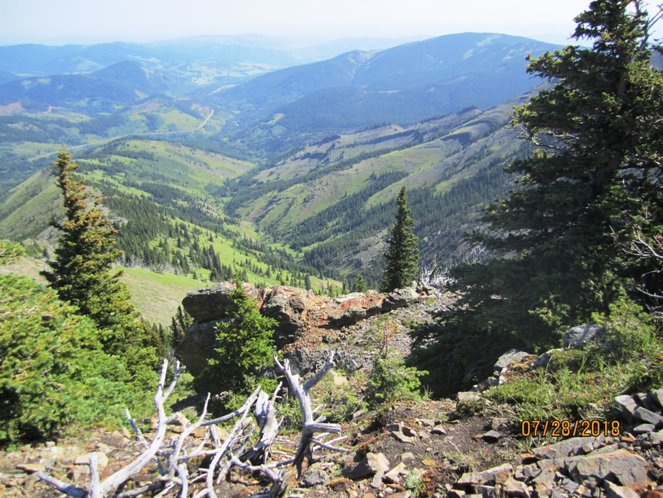
July28th 2018
Last year on our way down to the Castle Mountain area we did Hailstone Butte. This year at the same trailhead hiked Windy Hills Peak. Pictures below show the trailhead on Hwy 532. From the north come off Hwy 40 at Highwood Junction down Hwy 940. At the Husky Oil Savanna Creek Plant turn onto Hwy 532. 3 km along is the pull out and trail head at Teardrop Lake. I did not save my track so the GPS track is an approximation that I made up. We followed the instructions from Copelands, Where the Locals Hike. They call all the high ground bumps but I could not determine which bump was which. They had 4. On my map I made up #4 as I was not sure where they had it. The Windy Peak is obvious after a while but looks a long way a way. Also we came up to the Peak and turned right they came up and turned left so we went past where they went up. We were following a well worn trail but eventually just turned up to the summit ridge from this trail. We thought it would be a good idea to save some elevation gains and losses by going down the ridge to the swampy meadow and back on the road. Missed the tree cut swath Copeland talk about and found tough bush whacking through tight trees. Then came out in thick marshy bush. Kept to our right and found a quad track or farmers trail. Followed that to the left and then mostly wet quad track back to the road. Just made the 1.8km road trek back before rain came.
Distance return 11.5 km Time return 4.75 hrs ( inc 30 min lunch ) Elevation Accumulated gain 660 m Elevation to Summit 220 m Summit height 2242 m
[recaptcha_form]


Recent Comments