August 14th Wednesday Re-Visit July 22 2019
A bit of an alpine start leaving Canmore at 7:00 am. Started the hike at 8:00 am from Sherbrooke Lake parking just past the Great Divide Lodge ( now owned and operated by Lake Louise Ski Resort ). Park in the Hotel parking there is now a dual road so if you go to the official parking you cannot turn left.
The climb up to the lake is a moderate trek of 3.0 km.
The lake is long by alpine standards at about 1.2 km. The path stays very close to the lake and gives good views of the long day ahead.
After the lake the trail gradually rises along the Sherbrooke Creek. There are a couple of open meadows split up by treed sections,some are a little muddy and of course a couple of log and plank creek crossings. The action starts when you drop down into Niles Meadow.
After finding the cairn do not go up the water course logs indicate a right turn to the switch backs.
At the top you look down on this view and the main marker point is the spire
This is the last chance to fill your water bottle, as there are a couple of little brooks to cross.
Spire ahead. Stay right and high do not head for the Col. 2cnd trip had snow at the col so a glissade worked great from the col
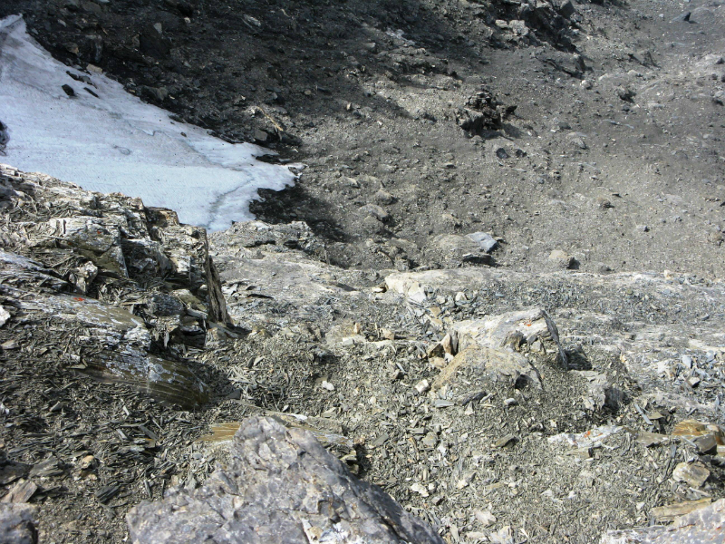
The rest is a good old-fashioned scramble. Loose rock ,boulders and scree. There are some cairns and some tracks to follow. From the Spire after you have covered 11 km you still have 350 m to 400m go.The views suddenly make it all worth while when the Daly Glacier and the Waputik Icefield come into view.


Distance return 24 km. Total elevation gain 1350 m to summit. Overall 1455 m Height 2978 m. Time overall 10:15 hrs. 5 hrs to summit.
https://willski.ca/trailheads/MtNiles.gpx
https://willski.ca/kml/MtNiles.kml
[recaptcha_form]


Recent Comments