Fossil Mt with Ptarmigan Lake and Redoubt Lake. Faint trail visible to Deception Pass.
August 9th 2016
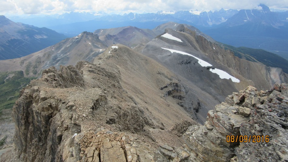
Mt Redoubt is accessed from Fish Creek trail head. The same as for Deception Pass and Skoki Lodge. The parking is up the Lake Louise Ski resort road on the right. Head off up the maintenance road for Temple Lodge. Pass under the Larch Chair with the Lodge down on your left. Follow the signs to Skoki. At the second planked bridge across the small Redoubt Creek bushwhack up. An alternative would be 50m back from the bridge head into the moss covered woods. ( Photo ). This saves the slippery rocks of the creek. Just keep the creek on your left. Pop out at a flatter section of the creek heading up and around to the left. A large scree slope confronts. A big slog. Head to the right. The best advice now is to look at the photos and choose the route up the mess of rocks to the Col. Lots of hands on scrambling no exposure. From the col head left around the summit Castle or Redoubt and find the weakness through. A couple of minuets then to the summit. Great views of Redoubt Lake and Ptarmigan Lake,Mt Richardson and Whitehorn Peak with all the ski runs. Distant views of the Valley of the Ten Peaks.

Trail in from Fish Creek to Skoki Lodge and for us Mt Redoubt

Second plank bridge turn right.

We stayed away from the creek on the way down and came out here. This could be a better way Up away from the slippery rocky creek 50 m before Planks

The creek to hike up to Redoubt

Mt Redoubt is left follow creek around the trees

Route ahead after the creek. Goes up the scree and right.

Heading for center top

This jumble of rocks has to be sorted out

The summit is top right

Summit is now on the top left

The castle summit from the Col with the cairn. Head to the left look for a gap or weakness through.

This is the where the weak point is to get through to the summit. Worn area out of sight to the right is the way up.

Cairn of Mt Redoubt with Valley of the Ten Peaks and Mt Temple behind


Distance return 16.6 km Time return 7 hrs ( inc 30 min lunch ) Elevation Accumulated gain 1200 m Elevation to Summit 1190m Summit height 2909 m
[recaptcha_form]

Recent Comments