September 8th 2015
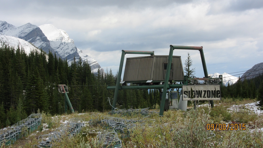
It is hard to believe that it is early September with all the snow on the ground. It is now the end of October and there is no snow. The hike to Fortress lake is the second hike we have done in this area courtesy of the owners of Fortress Ski area. At this time you are allowed to hike or bike up the access road but not to drive. From the upper parking lot proceed up the hill to the Cat Track that bears left down hill into the valley of Aussie Creek. Then follow the trail back up the hill towards the Farside chair. Before the chair as the high snow fence starts at Devils Gulch turn left towards a small tarn and find the trail on the right side of the watershed. Although we followed the trail through the trees it becomes very steep and slippy. I would recommend going down the center of the watershed on the rocks ,which is the way we returned. In the valley the creek from the lake feeds into Galatea Creek. The Fortress lake is to your left and any of the trails lead you there. The lake is over shadowed by The Fortress and Gusty Peak. On the return we came up the rocky watershed that intersects the trail before the tarn. Then to make a loop we descended down the ski run under the Farside chair. At the Sherwood Forest sign we kept left and came out at the bottom of the ski station. So we were now 50m lower than the cat track route. Then we returned as we had when we did Fortress Ridge up the old steep tow rope road.https://willski.ca/fortress-ridge-at-ski-resort/

Distance return 12.0 km Time return 5 hrs ( inc 30 min lunch ) Elevation Accumulated gain 740 m Elevation to Summit 285 m Summit height 2330 m
[recaptcha_form]


Recent Comments