Friday July 24th 2015
Mist Mountain in Kananaskis Country in the Highwood Pass area. The trail starts from Hwy 40 67 km south of Hwy 1.to the Highwood Pass parking lot, toilets here. From there it is another 13km to the Mt Lipsett parking. Go past this point to the pull out on the highway as shown in photo below. The car is facing north.
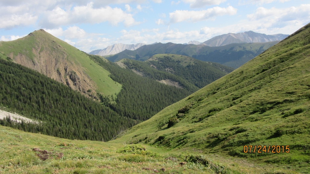
A trail just north of the pullout is visible from the hwy and intersects with the trail coming from Mt Lipsett parking. Follow the well worn trail through the trees until it breaks out into a beautiful alpine valley. The route climbs up the valley to a grassy col. As shown in the first photo.
The hot pools are visible from the grassy col but it would take another thirty minutes to reach them. We did not have time to explore so will have to return another time.
The trail winds along the left side of the watershed.
Ok at this photo we walked too far along to the left before ascending and the going was hard on loose scree and a very steep grade. I think heading up earlier would work better somewhere in this vicinity.
This is the area you would end up at and it is a pleasant grade to walk to the false summit.
This steep way down is a great time saver. The grade is steep and the scree not very forgiving but it is the way to go.
Note I would not recommend the route we took up to the false summit. Try heading up sooner.
Distance return 10.5 km Time return 6:30 hrs ( inc 30 min lunch ) Elevation Accumulated gain 1380 m Elevation to Summit 1292 m Summit height 3142 m
[recaptcha_form]


Recent Comments