Monday September 1st 2014
Tryst Lake is a fine afternoon hike. The views are excellent and the distance is not too great. The trail head is on the Engadine Lodge/ Mt Shark road from Hwy 742 the Spray lakes or Smith Dorian road. Travel over the bridge ( always looking out for the moose in the meadows). The road bends right and left in 100m watch for an old forest road on your left as the road takes another right bend. This is the Mt Smuts Pass and Commonwealth Creek trail head also Commonwealth Lake and the Pigs Back Ridge. The trail to Tryst Lake is 1.5 km from the trail head on your right hand side. Look for red flagging and lots of cairns. From the turn it is another 1.5 km and the whole 300 m elevation gain. Some of the trail has suffered damage from the 2013 flood but the trail is wearing in.
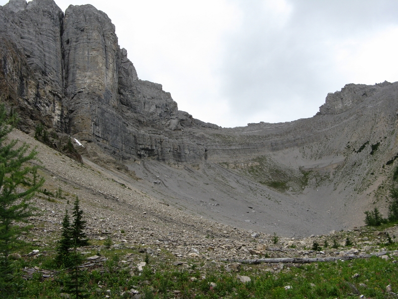
At the start of the trail you are in trees but as elevation is gained it opens up a bit as shown above.
The trail emerges out onto the lake. Tent Ridge is to the right and a trail leads up to the Col on the right side of the lake.
We met this little guy on the way out.
Distance return 6.0 km Time return 3:30 hrs Elevation Accumulated gain 300 m Elevation to Summit m Summit height 2175 m
[recaptcha_form]


Recent Comments