Close up of Stanley Glacier
June 20th Monday 2016
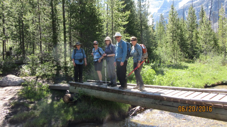
Ralph Connor United Church in Canmore is celebrating its 125th anniversary by going on 125 “Ralph’s Rambles”. Today is the first organized hike of the summer to Stanley Glacier. Twenty two members set off on a beautiful sunny day. Most people were happy to reach the lookout point and have a leisurely lunch taking in the fantastic view. A few of us went on to do the loop around the rock escarpment at the far end of the valley under the glacier.
Stanley Glacier trailhead can be found on Hwy 93 from Castle Mountain towards Radium and just past the Great Divide pullout on the southeast side of the hwy. The trail starts by crossing the source of the Vermillon River on a new bridge. Follow the switchbacks up through the burnt area from the fires of 1968. The pines and the fire weed are just starting to cover the area. The Stanley Creek cascades down on your left. Reaching a bench gives time to catch your breath as you cross the creek on another new wooden bridge. The first views of the glacier come into sight. There is a steep climb up to the first view point. Continue on to the sign saying the maintained trail ends. This is where you can carry on to the rock escarpment and complete a loop from left to right. It has now been discovered that the famous Burgess Shale of Emerald Lake fame continues into this area. Keep an eye open for small fossils on the rocks.

First view of Stanley Glacier. Note the burnt fallen trees.

Big group picture for Ralphs Rambles 125th anniversary

Views from the meadow at the bench

Close up of Stanley Glacier

Big Cornice above Stanley Glacier

Start of Stanley Creek from the bench

Under the waterfall


Distance return 11.4 km Time return 5:30 hrs ( inc 30 min lunch ) Elevation Accumulated gain 1046 m Elevation to Summit 604 m Summit height 2155 m
[recaptcha_form]

Recent Comments