September 2 2022
Spoon Needle. This is the mountain that looks long steep and narrow IE a Spoon Needle when you are traveling north back to Hwy 1. As you get closer it flatters out. Optical elusion.
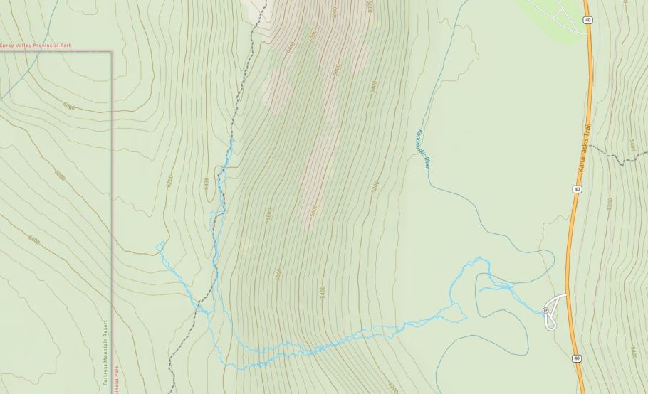
Start this scramble from the Opal Day Use from Hwy 40. There is a route shown from Galatea Trail. Maybe next time.
When up on Opal North we spotted a large log jam across the Kananaskis River and used this to get across with out getting wet. The route we chose was up through the trees, missing any rocky outcrops. The trees were very dense and the under growth thick. It was very steep and totally un pleasant. My bare legs were ripped to pieces. Bad mistake not wearing long pants. After a long struggle we hit what we thought was the ridge to traverse along to the summit. Wrong ridge. We had to back track and go one bump down then work along. Wasting a lot of time we were now to far in the day to complete the summit. Shame to waste such an effort. Next time we may try from Galatea Trail or a different route on the Opal side but more diagonal to the north.
This is a peak that is not visited much and it would be a shame not to get to the summit on another attempt.


Recent Comments