July 18th Friday 2014
Spencer Creek is a hike that starts 4.4 km from the Driftwood turn off on the Spray lakes Road. The trail is not marked but there is a dry creek at that distance. I found the cairn coming back towards Canmore and just pulled off to the side of the road. The GPS waypoint of the trail head is under “Download GPS” at the end of the blog. This is also the start if your destination is Mt Lougheed
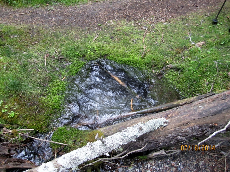
The trail is now visible leading into the woods and the photo above shows the unusual vegetation at the start. This water is coming out of a spring in the ground and a picture is in the Gallery.
I could call this one hour creek. That is the time to reach here after following the creek through the trees to this point.
The trail is now open to wonder through grass and rocks heading to the valley head.
After the grassed area pick your way up the narrow creek.
Then cross the creek to the left side through the rock pools.
Smoke haze blocks the view back into Spray Lakes. The creek and valley route can be seen looking back.
This is about as far as you would go unless you want to climb up to see the waterfall and the route up to Mt Lougheed. After checking out the waterfall we stayed high and walked back along the ridge under the castellated rock wall.Then back down to one hour creek.
Distance return 8.0 km Time return 5 hrs ( inc 30 min lunch ) Elevation Accumulated gain 880 m Elevation to Summit 630 m Summit height 2373 m
[recaptcha_form]


[…] Little Lougheed Peak is a small outlier between Mt Lougheed and The Wind Tower. The trail head is the same as for the hike up Spencer Creek. Please check out the link for all information on my Spencer Creek Hike post. https://willski.ca/spencer-creek-hike/ […]