October 5th 2016.
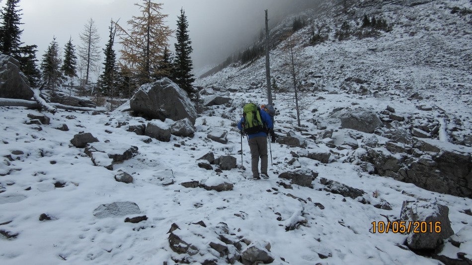
Following an unsuccessful attempt in the spring to do this loop counter clockwise we set off under cloudy skies to go clockwise through the Tarns and onto Red Ridge.https://willski.ca/red-ridge/ This link shows the first attempt. Starting from Sparrowhawk Tarns Day Use on the Smith Dorrien. The picture below shows the new High Rockies Trail. The white sign is the way to Mt Sparrowhawk and the Tarns. The clouds started to lift as we reached the Tarns and we could start to see the objective Red Ridge. Following over the barren landscape through the tarns until reaching the scree cone. The snow covered most of the trail up but anywhere will do as long as you head up and to the right. The rest of the route is a series of peaks and cols. Be aware that some of the cols between the peaks are guarded by cliffs and have to bypassed to the lower left. At the end of the ridge at the boulder field it is time to find a way through the trees. On the spring adventure we started from Spray Lakes Day Use and went more directly down. This time we went more to the right to follow the ridge along Sparrowhawk Creek. My track down at this point is a bit off as we ended up on the slope of the creek . We need to have stayed higher. When we got back on track we popped out on the High Rockies Trail just south of the new bridge, not far from the photo below but to the right.
Distance return 12.5 km Time return 6:30 hrs ( inc 30 min lunch ) Elevation Accumulated gain 1020 m Elevation to Summit 925 m Summit height 2662 m
Out of the trees and going up to the Tarns


[…] Sparrowhawk Tarns Red Ridge Circuit […]