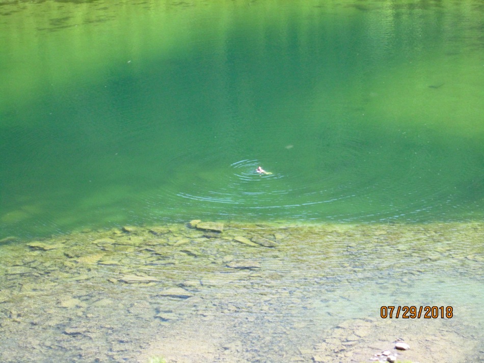
July 29th 2018
Southfork Mountain and Barnaby Ridge are in the newly developed Castle Wilderness Provincial Park. Follow Hwy 507 from Pincher Creek to Beaver Mines on Hwy 774. Beaver Mines has a great little store and gas station. Ice cream is the best after a long hot day hiking. Follow the road south towards the Ski Resort. Where the power line crosses the road is the trail head about 23 km south of Hwy 507. The river crossing is only a couple hundred meters from the car so put your water shoes on now. The trail is now signed after the river crossing. The first Barnaby Lake is about 3.5 km up a steep grade. Continue on to the first Southfork lake. Go along the west,right, shore then head up to your right for Southfork Mountain and Barnaby Ridge. The first part is scree then a small valley in the trees. Look for a faint trail or an opening through the trees left. Come out on open terrain with the summit to your left. At the summit Barnaby Ridge continues for as far as you see. We went along as far as the grassed area. Further on is a purple colour. We returned the same way and swam in the lake to cool off before the trek down. Thanks to the Castle Crown Wilderness Association for letting us join there hike. Another great weekend in Southern Alberta.
Distance return 14.4 km Time return 6 hrs ( inc 30 min lunch ) Elevation Accumulated gain 1115 m Elevation to Summit 970 m Summit height 2362 m
[recaptcha_form]


Recent Comments