September 23 2017
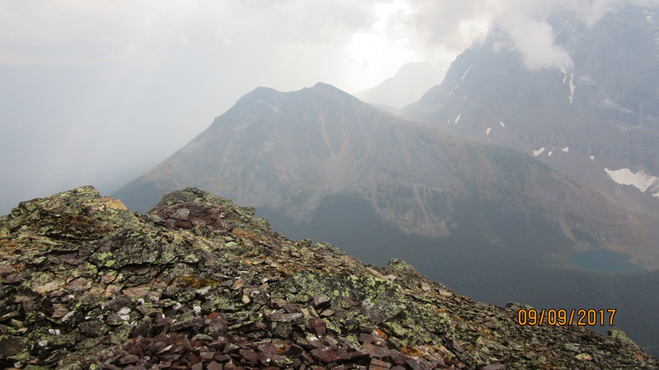
Moraine Lake road is very busy in the summer if you are not at the trailhead by 7:30 am the road closure is in effect until someone leaves. We arrived at 7:30 to find the Paradise Parking full but managed to park around the perimeter. Paradise Parking is 3 km up Moraine lake road. Rain had fallen over night but we set off under cloudy sky’s thankful it was not going hot as previous days. Walk up the trail towards Annette Lake for 5 km. Look for an abandoned old trail that used to go to the Giant Steps, just before the bridge that heads up the hill to Annette Lake. Then about after 0.5 km to the turn to the avalanche gully. We now had partial rain gear on and it rained until the top of the gully. Thankfully stopping as we traversed to the summit. There have been a few hardy souls climbing Sheol as a faint trail appears. Head up the main avalanche gully before crossing over to the right hand gully higher up. As you near the top of the right hand rocky gully, we found it too tempting to head to the ridge on our left. This worked out fine but we were then a little unsure of the direction. After scrambling up a little higher to our right a cairn appeared far right across under the peaks. This is a very wide ledge full of rock plates. The next section looks intimidating with a couple of false peaks to scramble over but with a bit of a look around there is an easy way through all of them. On the return we did not go all the way back to the ridge but headed down from the large ledge under the peaks into the body of the gully. ( see dotted line) Then retraced our steps back to the Paradise trail with the rain now coming down.

Mt Sheol right Haddo Peak left. Closer look of route on right gully. Dotted line more direct route . We descended this way

Sun popped out. We went to left ridge then the way across to the right under the high peaks. See pic below heading across to the cairn under peaks

Distance return 17 km Time return 6:30 hrs ( inc 30 min lunch ) Elevation Accumulated gain 1255 m Elevation to Summit 1057 m Summit height 2787 m
[recaptcha_form]


Recent Comments