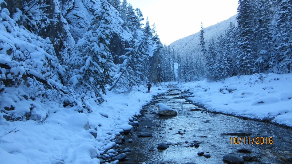
October 11th 2016
Porcupine Ridge trailhead is 28km south from Hwy 1 on Hwy 40 park on the north side of Porcupine Creek on the shoulder of the road or down the embankment near the creek. Photo below shows the start of the trail which you follow along the creek for about 1.3 km. Try and stay on the left bank although at a high water flow it may be difficult as it narrows passed a rock wall. At the fork of the creek head up the center treed mound. After a steep treed section views back into the Kananaskis Valley start to show, as you rest and look back. The ridge goes on for another 3 km but maybe you could go further in dry conditions. Along the ridge it seems that large rock cliffs are in the way but in both instances it was found that they were on the south protruding from the ridge. Great views to the south of Wasootch Ridge. East Mt Bryant, Belmore Brown and Tiara is visible but I could not identify. West Mt Lorette. North Midnight Peak dominates and the north fork of the creek into Red Fox Canyon which would lead over Boundry Ridge to Baldy and Lusk areas.

From the Creek the first view of the ascent to the Ridge. Cross the creek on the left fork with less water flow.
Distance return 9.6 km Time return 5:45 hrs ( inc 30 min lunch ) Elevation Accumulated gain 885 m Elevation to Summit 685 m Summit height 2121 m
[recaptcha_form]


Recent Comments