Wednesday July 22nd 2015
A Meanderthall hike to Pocaterra Ridge in Kananaskis Country. The hike starts from Hwy 40 at the Highwood Pass day use area and requires a two car shuttle. The Pass is at 2200 m so it gives you a useful boost in elevation before you start out. The finish is down the road and downhill at The Little Highwood Pass day use area. For information my GPS showed 2215 m at trail head. 2685 m at the summit. Elevation gain of 470 m. The Little Highwood Pass sits at 1935 m. So you actually lose 280 m from trail head to trail head.
The trail starts from the north end of the parking area on the Cirque Peak trail but soon bears left. Then the trail is through dense trees and shoulder high Cow Parsnip until you come out into the meadows with the view of your destination. It is about 2.7 km before the climb to the summit just passed the turn to Grizzly Col.
This would be the 2nd summit at 2555 m
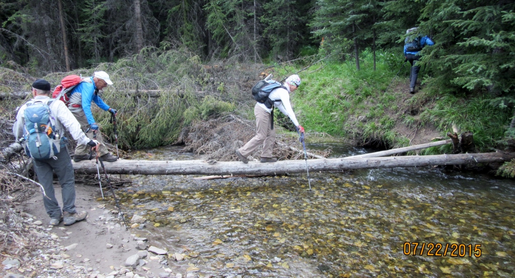
At this point on the ridge it is 475m knee crunching meters and 1.5 km to Elbow Creek. Once off the ridge it is a steep dirt trail down through trees and bush.There is no bridge at the creek but look for a log crossing. Picture in the gallery.
Distance return 11.0 km Time return 6 hrs ( inc 30 min lunch ) Elevation Accumulated gain 900 m Elevation to Summit 470 m Summit height 2690 m
A few 100 m from the road you cross the Elbow Creek


Recent Comments