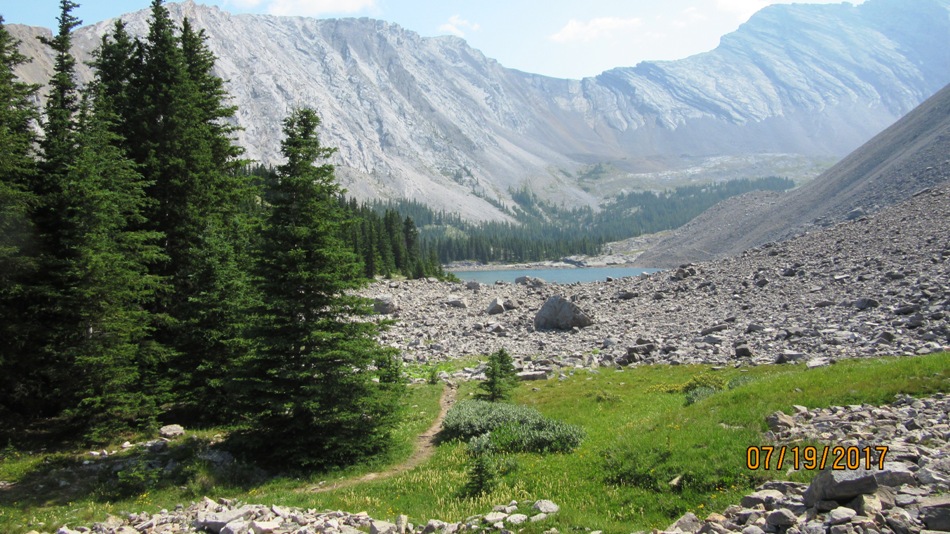
July 19th 2017,
Picklejar lake trail head is from Lantern Creek Rec Area on the west side of Hwy 40 19.5 km south from Highwood Pass. Walk back up the Hwy north for a 150 m to find the trail head on the east side of the road. The trail rises above Lantern Creek. Flowers were at there best at this time of year. We spotted lot’s of Nodding Onions and Umbrella Plants( see gallery ).After about 3.0 km you reach the steep short pitch that brings you up to the high point of the day and the first view of Picklejar lake. I have numbered the lakes in the order you arrive at them. There are four lakes in total. The first three are obvious. To find the fourth cross over the outflow of the third to the second. This will make a loop back to the first lake. Continue left through undesignated camp sites until reaching the fourth hidden lake. At the out flow of this lake cross on logs, see picture. The trail is hit and miss through this part but with a bit of route finding you end up on the far bank of the first lake and come out at the out flow of the first lake and back on the main trail. If you don’t like bush whacking and route finding just cut back from the hidden lake back to the original trail between lake one and lake two. Sorry I have no pictures of the hidden lake.
Distance return 11.6 km Time return 6 hrs ( inc 30 min lunch ) Elevation Accumulated gain 650 m Elevation to Summit 650 m Summit height 2275 m
*** Note The total elevation includes a side trip up to a high point off the trail about 100m ***
[recaptcha_form]


[…] the ridge from Picklejar Lakes. Start at Lantern Creek day Use Area. See link for Picklejar Lakes https://willski.ca/picklejar-lakes/ We crossed towards the scree gulleys on the left after the first lake. The choice was not good […]