August 18th 2017
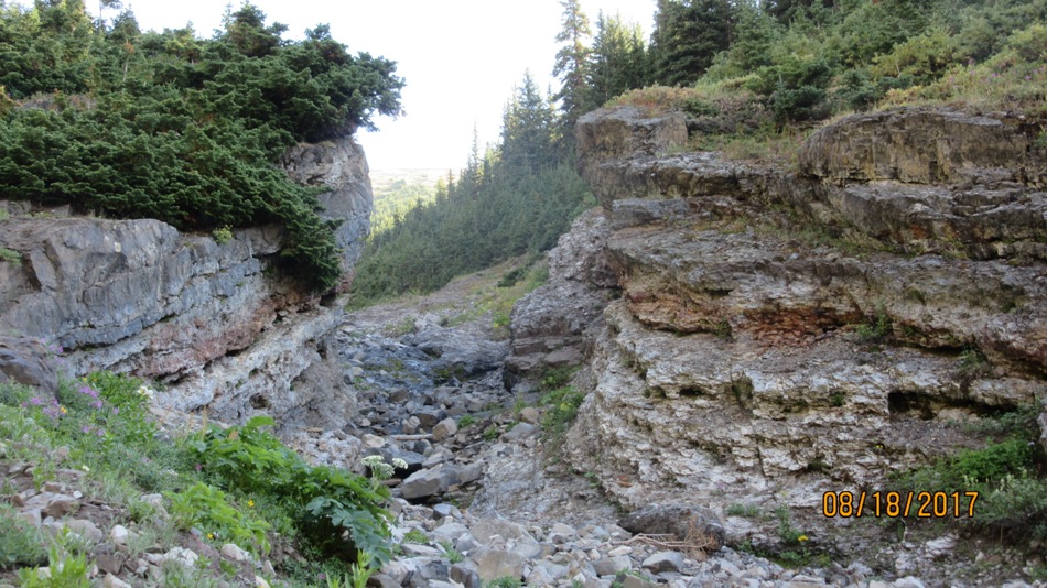
Sawmill Day Use Area on Hwy 742 Spray lakes road is a large parking lot and nobody uses it. It was a favourite cross country day use area but since they stopped grooming the logging road trails it is only used for snow shoeing. Anyway today we were the only people there all day. The trail for the Kent’s starts just to the left of the washroom at the metal gate. We went wrong and headed off to Walker Creek. Through the gate stay right(picture) and at what is called the fork stay left (picture). After four bends and 1 km notice a cairn on the right(picture).The trail, old logging road, to the right is just about buried with bush, great under foot nasty on the face. It may be easier just to go to the Outlier and down to the col to go up North Kent. We followed other peoples descriptions to take the meadow creek/gully route to made a small loop coming back over the Outlier. Once through the face whacking bush its a nice hike through the meadow to the creek. Then take your choice in the creek or one of the sides to the col. From the col another 450 m to the top. Some on soft dryas the rest on Kananaskis rubble. Nice views at the summit of James Walker, Joffre, Inflexible, Assinaboine, Birdwood and the Kent Creek Valley hidden between Lawson Ridge and Kent Ridge. Return down to the col and 50 m up to the Outlier and follow the worn trail back down to Sawmill.

From North Kent and the ridge to Mt Kent which is lower.Kent Creek Valley hidden between Kent and Lawson Ridges
Distance return 10 km Time return 6 hrs ( inc 30 min lunch ) Elevation Accumulated gain 1320 m Elevation to Summit 1100 m Summit height 2925 m
[recaptcha_form]


[…] North Kent […]