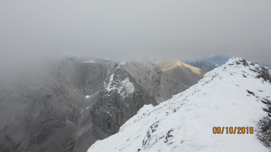
Oh nice, now you can see the Summit block.
September 10th 2016.
Set off on what was going to be a sunny day but Mt Sparrowhawk had different plans. The cloud level was just below 3178 m the height of the summit block of Mt Sparrowhawk. The wind was also gusting into the knock you over speed. Then the snow. Then the cold. I like a challenge and this was a good one. The route is from Sparrowhawk Tarns day use on the Spray Lakes road. See https://willski.ca/reads-tower-at-sparrowhawk/. The only difference now is the new High Rockies Trail. They have built an access trail up from the Day Use Parking. When it intersects the High Rockies Trail go straight ahead up the old Tarn trail. The big cairn for Reads Ridge and Mt Sparrowhawk is still there. From the col below the Reads Tower head up one of the many trails to the next col under the summit block of Mt Sparrrowhawk. Don’t go to the col with the hut on but head left around. Look out for a trail angling up. As I had not been here before in the cloud and wind it was hard to find but I would think on a clear day it would be easy to see. Simon and I spent a good half hour wandering along the face trying to find the route. We could not see the summit. Follow up to the summit. We had a brief glance at some of the views but as the cloud was moving so fast by the time I had my camera out they were gone. Most of the views happened on the way down. Then return the same way to Reads Col. It is a little further to go down the other side of Reads Tower but it makes a nice loop. This time I headed down and left across to a large water course. Then stayed to the right of it and came out on the Tarn trail with very little bush whacking. See arrows on picture below.

Poor conditions on Sparrowhawk summit, but not as bad as when we got there.

Reads Tower with Spray Lakes and Goat Mt and Nester Mt. Todays route route came up on the right and down on the left.

It looks and feels like Mt Everest

Mt Sparrowhawk and Simon touching the summit cairn

Weather station Summit Mt Sparrowhawk and no view

Clouds and wind envelope the summit block

Looking down into Memorial Lakes

Simon and the remains of the Ski Hut at Sparrowhawk col

The old Ski Hut

From Reads Col looking up to Sparrowhawk on descent

The route down to Sparrowhawk tarns trail. On the east side of Reads Tower


Distance return 11.9 km Time return 6:30 hrs ( inc 30 min lunch ) Elevation Accumulated gain 1725 m Elevation to Summit 1450 m Summit height 3178 m
[recaptcha_form]

Recent Comments