July 4th Saturday
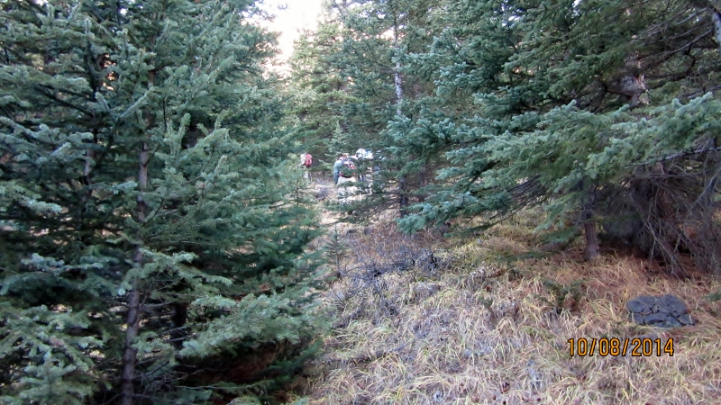
Mt Lougheed is the tallest mountain at 3109 m, visible from Canmore, and from the highway it looks to difficult to climb. The secret is to go around the back from the Spray Lakes road. Park at the Spencer Creek Trail. Follow the link for a separate description of this hike.https://willski.ca/spencer-creek-hike
The scramble starts from the bottom of the scree cone. This is a long trudge up to the rocks but has good footing if you stay off the down trail. At the rocks a fairly obvious route takes you up and right. Start looking for a weakness in the rock wall ahead and a small notch appears. See photo’s. Through the notch a cairn is visible way off to the right. See photo’s. There are a couple of small rock bands and lots of different ways through. Some trails are visible but you are heading to your right.From the cairn it is another slog up large scree to the false summit. Same as the other slog leave the trails for descending.See photo’s. From the false summit the main peak is visible and just a pleasant ridge walk to the top. The views are incredable.We could see as far as Mt Daly to the north and the Goodsirs to the west. Also Assiniboine ,Eon and Aye.
Distance return 13.5 km Time return 8:30 hrs ( inc 30 min lunch ) Elevation Accumulated gain1700m Elevation to Summit 1375m Summit height 3109m
[recaptcha_form]


Recent Comments