July 2nd Wednesday 2014
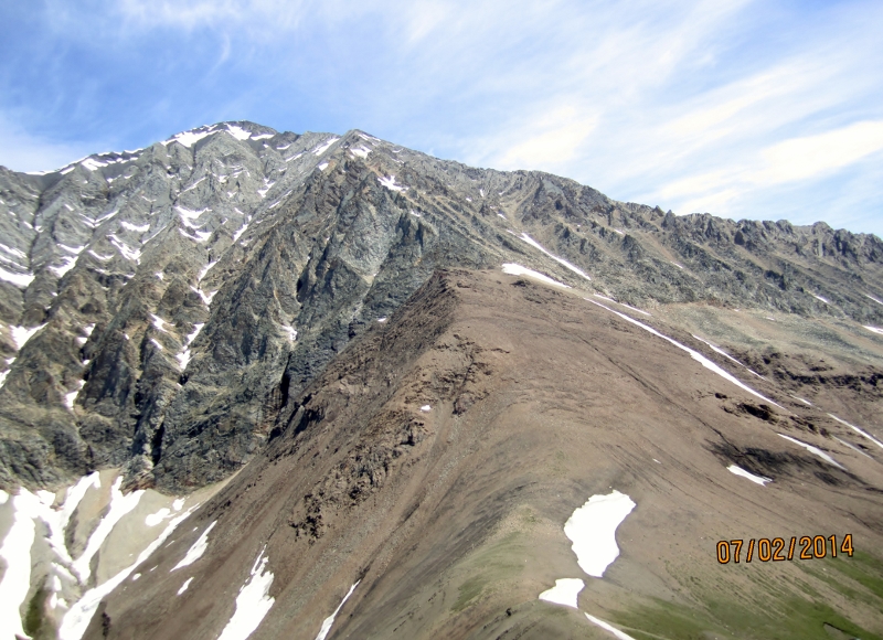
Mt Lipsett in Kananaskis Country in the Highwood Pass area. The trail starts off Hwy 40 67 km south of Hwy 1.to the Highwood Pass parking lot, toilets here. From there it is another 13km. The parking lot as photo shows, in gallery, is still under construction.The trail follows an old mining road and although over grown in some areas it is a very gentle switchback climb. The first section is a little muddy. I would recommend this hike for it’s easy ascent to magnificent views.
After this section the road becomes more evident and the hike more enjoyable as height is gained and views appear.
The exit from the woods and into the open alpine takes about 1 hr 30 mins.
The first mountain in view is not actually your destination. The indirect route goes to the left so you can come up the col past two minor summits.
Distance return 15.2 km Time return 6 hrs ( inc 30 min lunch ) Elevation Accumulated gain 800 m Elevation to Summit 750 m Summit height 2585 m
[recaptcha_form]


Recent Comments