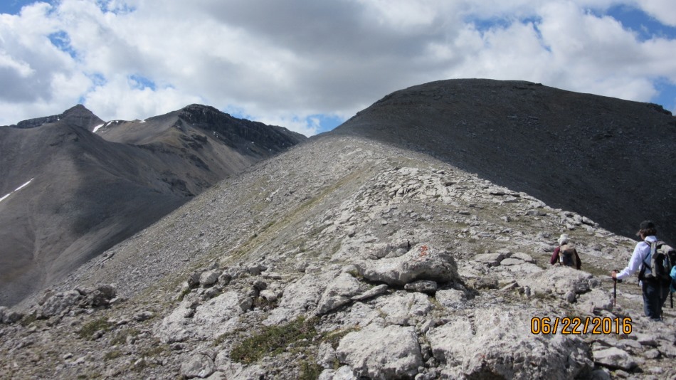
Mt Romulus flat top left Mt Remus
Wednesday June 22 2016
Mt Howard. Since the Powderface Trail has re-opened from the 2013 floods this is the third hike in this area this summer. Upper Canyon Creek Trail head for Mt Howard is located on the Powderface Trail Road. From Hwy 40 just passed the Tourist Info Center turn left onto the Sibbald Creek gravel road Hwy 68. Travel 12 km to the right turn on to the Powderface Trail. Continue on for a further 19 km over the Upper Canyon Creek bridge and pull in on the left passed the bridge just before the corner. https://willski.ca/peaks-3-4-from-upper-canyon-creek/ https://willski.ca/belmore-browne-peak/ It is a 5 km walk along Upper Canyon Creek to the water drainage on the left to the start of the ridge to Mt Howard. The hike along the ridge is foreshortened from the creek and has lots of undulations. Stick to going over each hump until the last but one where a faint trail can be seen on the right hand side. At this point you can see a tall sentinel type rock on the top of the col before the summit. Find a faint path crossing through the rocks to this point before the final ascent to the Mt Howard summit. The pictures show the alternate route down along a long ridge. The descent is into the water drainage at the cairn at Upper Canyon Creek. Although steep at first it is a good way back to make a loop. Once in the drainage it is still a few clicks out to Upper Canyon Creek. Then another 5 km back.

Where Upper Canyon Creek narrows

Route out of Upper Canyon Creek

Cairn at drainage. Head up at this point

Arriving at the first summit on Howard Ridge

Lot’s of ridge and elevation to go

More of the ridge to Mt Howard

Another summit then another and another

We tried slicing to the left of this next hump .Go over the top

Ridge ahead with Mt Howard a long ways off. Faint trail can be seen on center right

Route goes below high point right to the small rock promontory or sentinel type rock

Center left is ascent ridge. Long ridge going right descent ridge

Nahahi Ridge turns into Compression Ridge Moose Mountain on the skyline


Distance return 21.0 km Time return 9:30 hrs ( inc 30 min lunch ) Elevation Accumulated gain 1162 m Elevation to Summit 1040 m Summit height 2787 m
[recaptcha_form]

Recent Comments