August 10th 2018
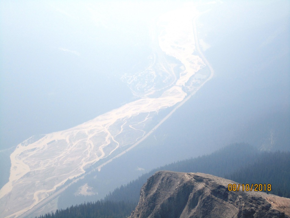
Mt Field trail head is off Hwy 1 just 0.4 km before the Field turn off. A paved pot holed road parallels Hwy 1. This is actually the start of the Burgess Pass which according to Gem Trek Maps has 52 switch backs. In an elevation gain of 915 m. Mostly in Douglas Fir and Cedar forest. At the crest of the pass turn right and come to the sign in the photo. Follow trail to Yoho Pass. The trail looses 30 m of elevation to the gully. Easier in the grass and trees to the right of the gully .Walk through until near the end of the green and angle to your right. Head towards the furthest watershed of Mt Field on your right. See my line drawn on picture. The mistake we made was not going this far right and after struggling up crap rock we got to the cliff band and did not like the options. Walking along the cliff band we found the easy way up through. The summit is not far above the cliff band. Because of this summers smoke most of the views are obscured. We could just see Takakkaw falls, Mt Burgess Emerald lake and the town of field. At one point I could see Mt Carnarvon and the President Range.
Distance return 19.1 km Time return 8 hrs ( inc 30 min lunch ) Elevation Accumulated gain 1426 m Elevation to Summit 1385 m Summit height 2646 m
[recaptcha_form]


Recent Comments