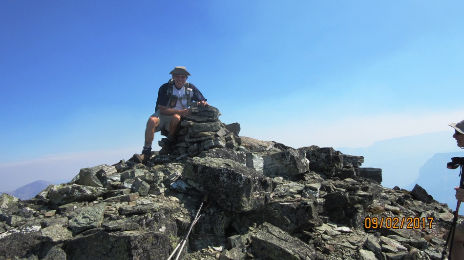
September 2 2017
Mt Haig is south of Pincher Creek where we stayed the night. Then we met up with Kevin who was leading the hike at the hamlet of Beaver Mines. Kevin and his wife Jolaine run Stepping Stone Bed and Breakfast. We enjoyed a great home made breakfast before heading out to meet the rest of the local hiking group. We drove down to Castle Mountain Ski resort where the hike begins from the parking lot. Following the Cat track that starts at the left side of the resort after walking past many ski resort homes. It is 3.5 km to the turn of to the tarn and it is marked and someone is working on clearing a trail through. Although you do not have to go to the tarn to scramble Mt Haig it is well worth the 0.6 km detour to have a look. The treed hill on your left has to be climbed to get onto the ridge, not that easy as there are lots of bushes under foot. Once on the ridge the route is plain sailing up to the rock bands. Th3e 1st rock band can be climbed as soon as you reach it. Then go right around the highest section. The next or 2cnd band is next. Climb which ever piece you are comfortable with the further you go to your left the easier it gets. After three bands there is a shale slog before the last rocky ridge to the summit. Thank you Kevin for leading us on a great hike. As afoot note the smoke was bad on the Saturday on Sunday they closed the whole Castle Mountain area down for wildfire concerns.

Bushwhacking back to the Cat track after the ridge. There is a trail somewhere but finding it is hard.

Distance return 14 km Time return 8:30 hrs ( inc 30 min lunch ) Elevation Accumulated gain1410 m Elevation to Summit 1250 m Summit height 2610 m
[recaptcha_form]


Recent Comments