Aug 2 cnd 2019
https://willski.ca/sparrowhawk-tarns-red-ridge-circuit/
See above link for description of Sparrowhawk Tarns. Walk to the upper end of Sparrowhawk Tarns. Then pick the best line up as the arrow shows below. This is the nasty, messy tiresome part of the scramble. It is all loose rock scree. Once at the Col the route up can be seen. Climb up the Sub peak and then down climb ( small cairn ) to come out at small Col 2 . Go up the slabs stay to the left to get around the rock wall. There is a worn trail through the rubble. Not much to say after that but plod up to the summit. It’s a long way and tiring. Great views of all the major peaks in the area. Return the same way.

Arrow around the cliff band. If you have the expertise climb this it would make the going easier than scrambling around.

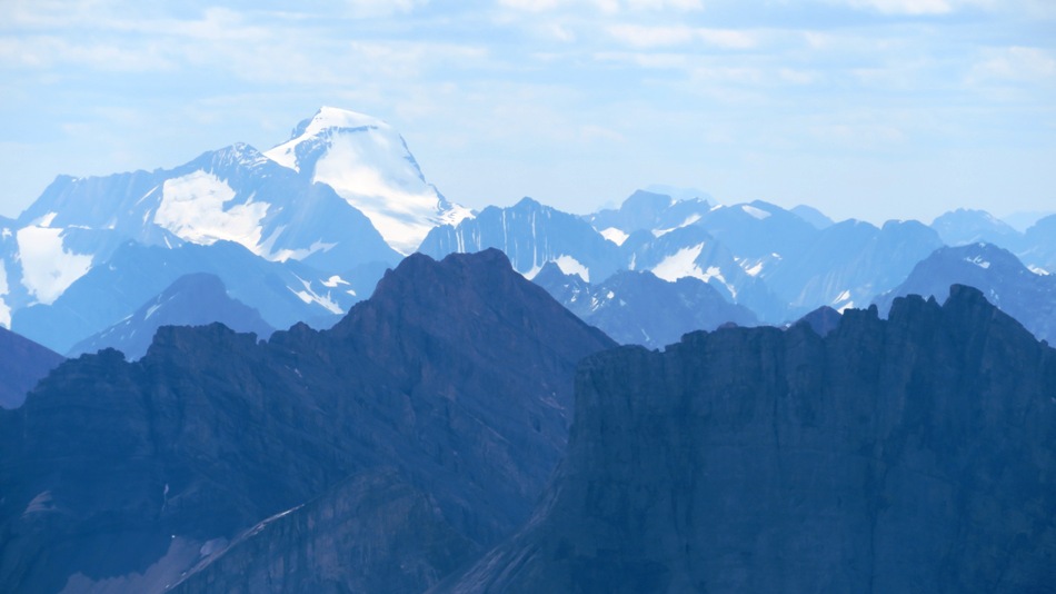
Red Peak ,Red Ridge,Buller, Spray Lakes, Nester and center distant is Assiniboine Aye and Eon 30 km away
[recaptcha_form]


Recent Comments