South Molar Pass
July 27th Wednesday 2016
Molar Pass South to Molar Pass North are accessed from the Icefield Parkway Hwy 93 N. 23 km from Hwy 1 at Lake Louise junction. Park across the road at the hostel parking not the camp ground. The trail starts on the north side of the creek. Jump over the Armco road barrier. Then follow the creek up to the campsite at 5 km. Then the signed junction at 6.5 km. Then pass flower filled meadows on the muddy trail to the South Col 1.7 km further 8.2 km in total. Take in the views of Mt Hector and the Molar Glacier and Molar Mountain. Molar glacier is not on Molar Mt. The Dolomites and Watermelon Peak (it does not look like a melon) to the north. The route to Molar North can be taken over the top along a ridge with a couple of peaks and castellated rocks, Lego blocks, but we went down until the rocks stopped and headed across the meadows under the ridge. Try to keep following under the ridge above until the other trail comes into view. It is a bit of slog up a scree path to the North Col. The rock formations in this area look like some one has built them with Lego very interesting. We did not stay very long as dark cloud was approaching. Not long after it was thundering with heavy rain and hail. Not a tree insight to shelter under so we got a good soaking. Lower down there had been no rain.

Bridge across creek feeding Mosquito Creek

At the junction to North and South Molar

Down the Mosquito Creek valley looking north

At South Molar Pass

Mt Hector and Molar Glacier

At the point where we cut across to North Molar from below South Molar

Beautiful views as we walk across to North Molar

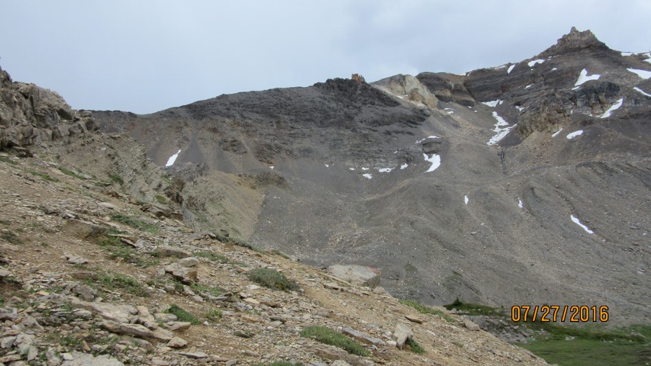
The stream flowing down into Mosquito Creek, Dolomites far center

The group at North Molar Pass

Remaining snow at North Molar Pass


Distance return 27.1 km Time return 8 hrs ( inc 30 min lunch ) Elevation Accumulated gain 890 m Elevation to Summit 760 m Summit height 2605 m
[recaptcha_form]

[…] Molar Pass South to Molar North […]