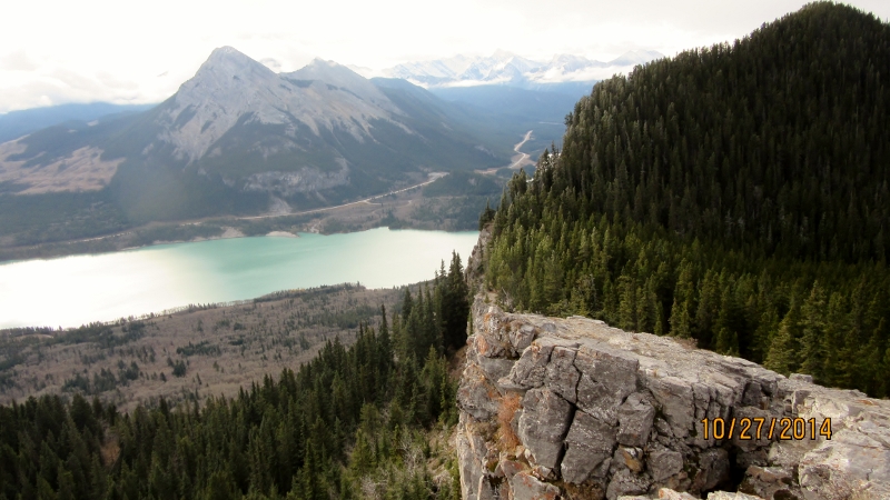
Monday October 27th 2014
McConnell Ridge South is part of Yates Mountain. At the top of Yates is the Barrier Lake Fire Lookout to the North is Razors Edge, accessed from Hwy 1. This hike is also called Prairie View Lookout by the locals. The trail starts from Barrier Lake pullout at the dam off Hwy 40. The trail is an old road that leads up to but just shy of the “movie screen ” repeater station. At this pont you can go up to the Fire Lookout or descend to Jewel Pass Trail or as we did walk along the ridge and come out at the lake on the Stoney Trail.
At the bottom of this section stay to the left and head into the trees. Try and stay to your left as much as possible. There is one exception at a log blow down area where it is better to go right and see the views down the Bow Valley and Heart Mountain.
At this cairn it is downhill to the lake but try to stay to your left. The rocky ridge will eventually end and you can turn left and pick a route down to the lake trail. I marked it on the GPS as Jewel but it is a section of the Stoney Trail. Jewel Pass joins this trail.

Distance return 12.5 km Time return 5:30 hrs ( inc 30 min lunch ) Elevation Accumulated gain 725 m Elevation to Summit 525m Summit height 1930 m
[recaptcha_form]


Recent Comments