October 14th 2014
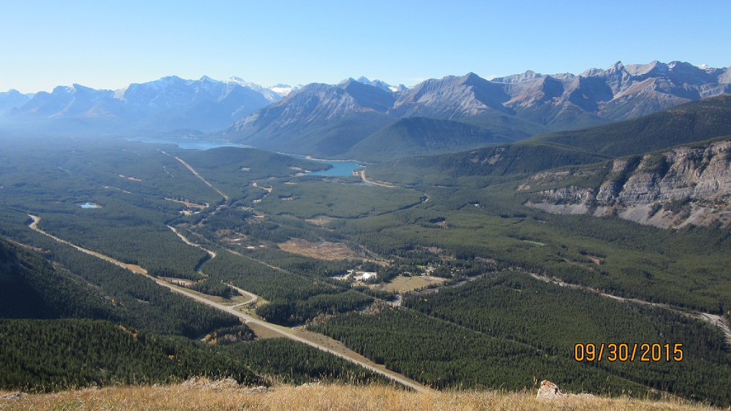
King Creek is better known for its creek hike than the Ridge but since the 2013 flood the creek parking has been closed. We did take a look up the creek, after another hike, and a trail is being established but there are no bridges left and only log hopping will get you up the creek. Ok back to the Ridge. The trail starts north of the creek and climbs rapidly up though the trees the with very few switch backs. On the ridge the up ward progress is more gradual and the views of Kananskis Lakes and the Opal Range open up. Mt Wintour and Elpoca are prominent to the south. To the west the ridges of Lawson and Kent with the Spray mountains behind. Return the same way. It is possible to come back of the ridge and return via King Creek but it is unknown since the floods. As mentioned above we did take a short hike up the creek and it does look possible. Only experienced hikers should try as we did not go up the entire creek. Low water levels are a must.
Distance return 8.0 km Time return 5 hrs ( inc 30 min lunch ) Elevation Accumulated gain 850 m Elevation to Summit 785 m Summit height 2450 m
[recaptcha_form]


[…] King Creek Ridge […]