Jumping Pound Mt to Cox Hill

Looking down the ridge to Cox Hill

Looking down the ridge to Cox Hill

October 26th 2016

Jumpingpound trailhead is on the Powderface Trail road from Hwy 68. The trailhead parking is on the side of the road not far the cattle grid coming from Hwy 68. There is a sign showing the trailhead on the left side. The trail is a well worn wide track up to Jumpingpound Mountain. Why it s called a mountain and Cox is a hill makes no sense to me. From the top of Jumpingpound the ridge unfolds all the way to Cox Hill. To shorten the hike a car shuttle could be made by leaving a car a Dawson Creek Rec Area. We did not have that luxury and made the trip in both directions. I really enjoyed this ridge walk. The views are wonderful in every direction. Moose Mountain is prominent to the south east. On a clear day Calgary is visible. The ridge undulates along before dipping down 250 m before rising again to Cox Hill as all this has to be repeated the elevation mounts up. See the distance to elevation  profile at the bottom of the page. Note Jumpingpound is slightly higher than Cox and this can be bypassed. There is some good hiking in this area and so far I have covered Mt Howard, Two peaks near Mt Bryant and Belmore Brown.

Parking for the trailheadat Jumpingpound

Parking for the trailhead at Jumpingpound

Trailhead Jumpingpound

Trailhead Jumpingpound

Jumping Pound Mountain

Jumpingpound Mountain

From Jumpingpound to Moose Mountain

From Jumpingpound to Moose Mountain

Lower ridge trail below

Lower ridge trail below from Jumpingpound Mt


Mt Glasgow near Banded Peak far Nahahi Ridge leading into Compression Ridge

Mt Glasgow near Banded Peak far Nahahi Ridge leading into Compression Ridge

Lee and Greg on Jumping Pound

Lee and Greg on Jumping Pound

On Jumping Pound with Cox Hill behind

On Jumping Pound with Cox Hill behind

More of Jumpingpound Ridge

More of Jumpingpound Ridge

Now leaving Jumpingpound Ridge going down before up to Cox Hill

Now leaving Jumpingpound Ridge going down before up to Cox Hill

Summit of Cox Hill in distance

Summit of Cox Hill in distance

Cox Hill ahead

Cox Hill ahead

Looking toward the Spray Lake Mountains

Looking toward the Spray Lake Mountains

Views of Jumpingpound Ridge

Views of Jumpingpound Ridge


The junction from Dawson Creek

The junction for Lusk Pass 3.5km to the Powderface road

Grouse still thinks we cannot see him

Grouse still thinks we cannot see him

jumpingpoundcoxhill


jumpingpoundcoxhill-p2

jumpingpoundcoxhill-p1


Distance return 18.5 km Time return 7 hrs ( inc 30 min lunch ) Elevation Accumulated gain 1050 m Elevation to Summit 440m+250m+250m+940m Summit height 2252 m

GPS Download

Google Earth KML

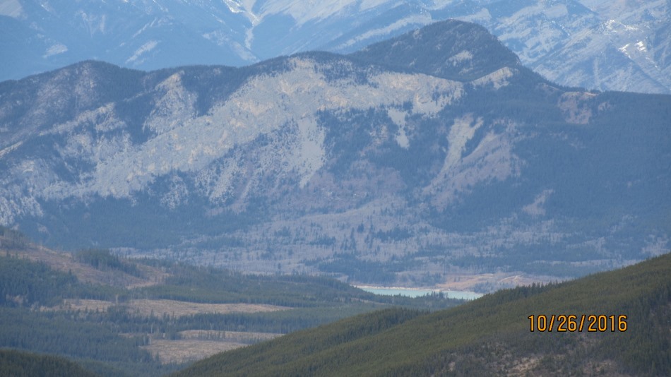
McConnel Ridge with Barrier Lake in front

Image 9 of 15

McConnel Ridge with Barrier Lake in front

[recaptcha_form]

Trackbacks

  1. Cox Hill says:

    […] Jumping Pound Mt to Cox Hill […]