Monday August 18th 2014
Gusty Peak is according to Alan Kane is little more than a steep trudge up a rubble slope. Yes I agree but the rubble is very loose and starts at the bottom and ends at the summit. Trying to pick a route from afar is difficult as all the strata runs look the same. I have shown on a picture the route we took.The route down is the best defined one, but what it would be like to ascend is another matter . We found the rock ridges the best place to walk on or against a rock wall. Stay close together and wear a helmet as every rock is loose and wants to tumble down the hill.
The trail starts at Chester Lake Parking on the Spray Lakes road. After 4 Km and 300 m elevation gain Chester lake will be glimmering in front of you. Even if you go no further it is a beautiful place to visit. Walk around the left side at the lake. There are two routes. The easier route is up through the trees as marked as a waypoint or up the scree further to the right. Walk through a lovely valley with Mt Fortress dominating the view ahead with Chester on the right and Gusty only coming into view further as you come over a lateral moraine ridge.
Moraine in forefront of photo above. The route is on the left or right of the snow patch.
Nothing but scree rubble in sight.
On the way up we crossed the snow patch centre left. Then cut acrosss to the rock wall left out of sight. On the way down we were far right and went under the snow patch.
It was at this point Dana was regretting forgetting her poles at home.
The peak behind looks like the highest point on the way up but no go right for the summit.
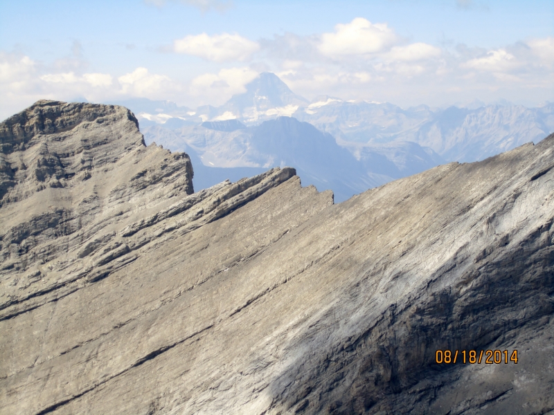
View from the summit with Fortress right. See the gallery for more views.
Distance return 15.5 km Time return 10 hrs ( inc 60 min lunch ) Elevation Accumulated gain 1400 m Elevation to Summit 1170 m Summit height 3028 m
[recaptcha_form]


Recent Comments