Gap Peak from Grotto Mt
May 21st Saturday 2016 Revised October 5th 2021
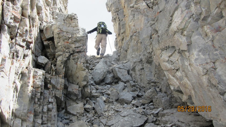
The scramble starts at the Baymag Plant .Not any more start at Grotto Pond Day Use. Walk to the old parking spot. Through the gate cross the small gravel pit and look for a cairn and trail into the woods. Follow trail as best you can always heading slightly left to avoid the small cliff band hidden in the trees. The trail is now well established and goes through the cliff band. The picture below shows the cliff band. Do not try to go around to the left there is a route through the center at this point. On our return we tried a different route down through the cliff band more to the east but it proved to be steeper and nastier. This is now the way up. Next is the break out of the trees and the fine red gravel to the first major rock band. Go right to go around. At the end of the cliff go left and up a loose steep scree patch to the view of the next cliff band. Head to the left. After passing under the cliff go right up towards the pinnacles. There is a lot of loose scree and we tended to go to the left ridge. Either way at the pinnacles you can have some fun and scramble over them and look through the rock window or detour around to the right. Now you can see the ridge to the summit but it is still foreshortened. Part of the ridge is fairly wide and the last part a bit craggy with a bit of exposure. We returned mostly the same way but there did look to be opportunities to crash down some scree gullies into Grotto Canyon. I will leave that adventure for another day.

Small Cliff band in the trees

Braking out of the trees first big cliff go right

At the end of the cliff

Short steep scree after the first cliff

Above the first cliff band

Traversing left under the second cliff band

Past the second cliff and about to go right up to the pinnacles

Great scree for coming down but go up left to the ridge. Pinnacles top.

On the ridge with the pinnacles ahead. Go to the right to walk around.

The ridge ahead from the pinnacles. It’s about 30 min to the summit.

On the ridge to Gap Peak

More of the ridge.

Going back down with another group coming up. We went left around the false summit going down.

See the people on the false summit of the ridge

All of us on top of Gap Peak


Distance return 9.5 km Time return 6 hrs ( inc 30 min lunch ) Elevation Accumulated gain 1310 m Elevation to Summit 1170 m Summit height 2488 m
[recaptcha_form]


Recent Comments