June 20th Friday
This Peak has not been named officially so it has many handles G8 or Wasootch or 336454 Summits. The Peak to it’s right also suffers from the same fate but is refered to as Mt Kananaskis. The trail starts on the north bound side of the highway just past the turn off for Kananskis Village or Nakiska Ski Resort. Pull over at the first road sign just past the dry creek. Find the trail through the trees or just hike up the gravel creek past two cairns. The third carn on the left side of the creek takes you onto the main trail into the woods along the side of the creek.
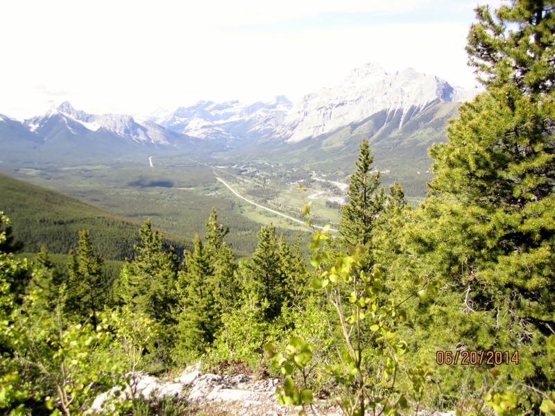
The trail follows the creek as it gains elevation until it veers left and ascends through more trees until the rock out crop and the first view point.It takes about one hour to this point at a brisk rate.
After the view point you make your way around the rock in picture above until you gain the rocky ridge.
Make your way up the spine of the ridge on a well worn trail.
Getting close to the end of the ridge with the summit route in front. Hug the left of the large rock outcrop and follow the many trails to the summit trying to stay close to the ridge line on the harder rock the trails on your left are better for descent having more scree.
On the summit after coming through the notch. Look for a cairn on your right just before the top and climb through I am sure if you miss it you will still get around the rock. It does look like you could down climb on the backside of the summit and try a scree run down but I did not try it. I found the trail back down was fast on the scree paths so you may not gain to much in time. Of course it may be more fun the other way.
Distance return 6.0 km Time return 4 hrs ( inc 30 min lunch ) Elevation gain 960 m Total height 2357 m
[recaptcha_form]


Recent Comments