Main cat track runs to the right all the way to the Farside Lift start of ridge. Short cut down left to junction bottom center
Thursday August 27th 2015
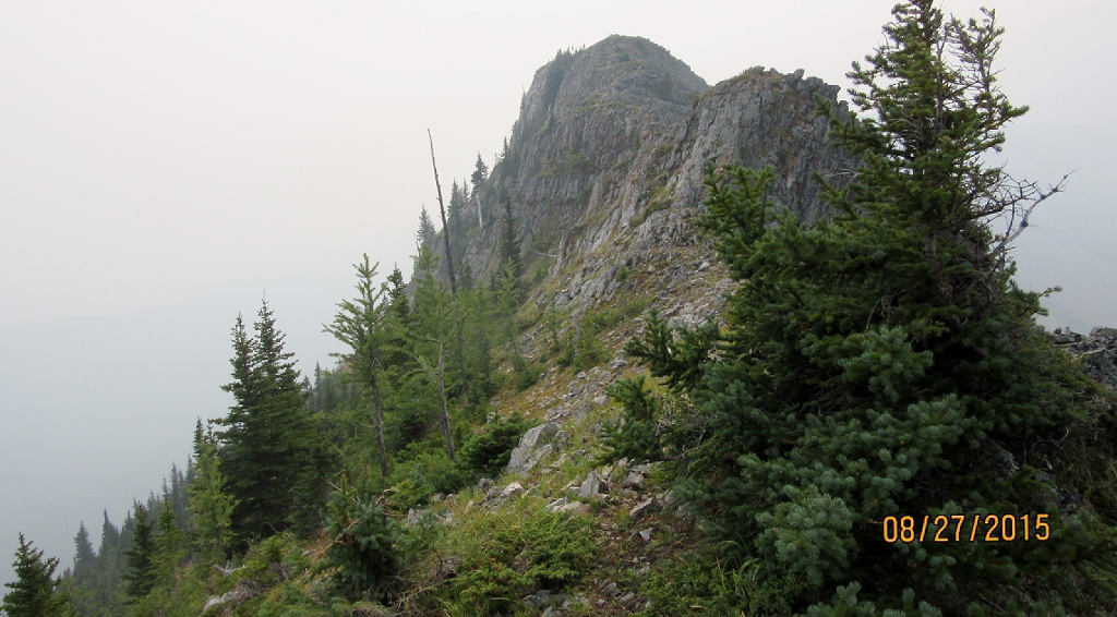
The smoke from forest fires had been with us all week and with the weather otherwise being perfect patience ran out and off we went to the old Fortress Ski Hill. The pictures are very poor due to the smoke.
Fortress has been closed for a few years with only cat skiing going on. The area is privately owned so permission from the resident caretaker was given, for us to visit and hike in the area. The plan was to hike what is called Fortress Ridge as described in Dafferns Vol 1. A late start prohibited from checking out Fortress Lake. https://willski.ca/fortress-lake/ The approach road is off Hwy40 opposite the gas station. There is a locked gate across the bridge and it is a further 8 km to the resort. On our arrival and departure we had a friendly chat to the caretaker who told us to watch out for his friends. I am sure he has nicer friends than the grizzly bear he was referring to. We also learnt that plans are underway to open in the 2016/17 season with a couple of new lifts and a new Lodge is to be built. Big plans are in the works and I hope they all come together to make a success of the operation.
The hiking started from the old upper parking area walking up the cat track/ road. We were not allowed to drive up to the old Farside Chair Lift as some investors and workers were doing. From the top of the hill we descended down an old lift line to the reservoir pump house. Then across Aussie Creek up the steep ski run to the Farside Chair lift which is the start of the ridge walk, nicknamed Old Baldy the first P1 summit is the highest. We then carried onto the end of the ridge crossing over a total of four summits. Then returned the same way.

Distance return 12 km Time return 5 hrs ( inc 30 min lunch ) Elevation Accumulated gain 1133 m Elevation to Summit 352 m Summit height 2380 m
[recaptcha_form]


Recent Comments