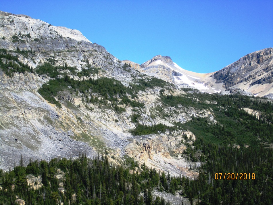
July 20th 2018
Just to make it clear this lake has no name on the map so I called it Crowfoot because it is in the lee of the Crowfoot Mountain. It does show on the map to the south of the trail going up to the Bow Hut. The lake is seen from the Bow Hut and that is where we got the idea to check it out. We made a loop out of the route because we could. The way we went up was just before the little creek and that looked the east way. The way down is a bit steeper but still comes out on the trail. After viewing the lake we went up higher hoping to reach the end of the Crowfoot mountain that overlooks Bow lake unfortunately it was too many false summits away and time ran out. This turned out to be a more beautiful lake than expected and is definitely worth the trip. The turn off at the creek is about 5.6 km and the exit from the lake is at 4.7 km. There are some faint trails.
Distance return 14.0 km Time return 6 hrs ( inc 30 min lunch ) Elevation Accumulated gain 740 m Elevation to Summit 515 m Summit height 2245 m
[recaptcha_form]


Recent Comments