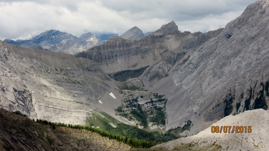
Friday August 8th 2015
Commonwealth Ridge is accessed from the same parking as Tryst Lake, Smuts Col, Birdwood Lakes, Pigs Back and Commonwealth Lake. So pull off the Smith Dorrien at Engadine Lodge and cross the bridge and take the first left into the trail head parking. Walk along the old logging road after passing the Tryst Lake trail take the left fork. This takes you down to the crossing at Commonwealth Creek. There is a large log across the creek just up-stream. Follow the trail to a cut block area and look for flagging and cairns on your right. Trail now leads up to the lake. Be aware that there is a steep climb up through the trees. Now once up on the flatter section with the lake in sight look for the best bush whacking route up through the forest on your left. Try and make this decision as early as possible to try to keep to the ridge. Note on the way down we followed a goat trail or man trail all the way down to a cut block area and the lost the trail as the GPS map shows. An alterative route I would try if I return would be to cut across to the cut block area before the steep climb up to the lake and try to catch the trail from there.
Distance return 13.0 km Time return 7.0 hrs ( inc 30 min lunch ) Elevation Accumulated gain 820 m Elevation to Summit 685 m Summit height 2560 m
[recaptcha_form]


Recent Comments