September 18th 2015
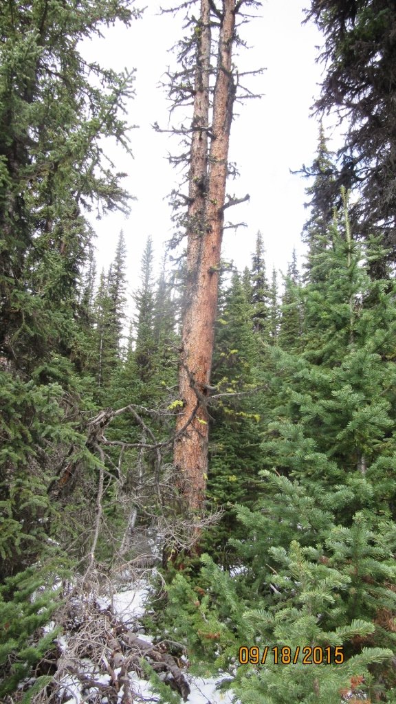
The route from Chester Lake to Rummel Lake is not traveled on very often these days and finding the route up through the trees to the pass can be a bit hit and miss. The standard or easy route is to turn left or north in the meadow where the valley opens up and widens near Chester Lake. To make it a longer and more interesting day we went to the lake and up to the Elephant Rocks and worked back along the ridge running from Mt Galatea. The hike regardless of where you go needs two cars one at Chester Lake and one at the Mt Shark turn off for the Rummel return. The route taken was ok but no worn trail until we found the valley to the Pass. From the Elephant Rocks we went through trees and meadows. After crossing a large water gorge we followed the stream down to the woods and headed into the bush in search of a trail. A GPS route would be most helpful. The pictures below show the most obvious points along the trail. Once over the pass ( watershed ) the valley widens and clears and we walk until the bush thickens looking for a large dead tree. In my mind I am thinking there has to be a lot of large dead trees, but we only found two that fit the bill. I forgot to waypoint this spot but would guess it is about 0.75 km from the Pass. Photo below. From that point follow the faint trail through trees and bush until stumbling out onto the Rummel Creek trail. The following route is also described in Daffern’s Vol 1.
Distance return 11.0 km Time return 4:30 hrs ( inc 30 min lunch ) Elevation Accumulated gain480 m Elevation to Summit 385 m Summit height 2260m
[recaptcha_form]


[…] Chester Lake to Rummel Lake […]