October 17th Friday 2014
Buller Pass North to South is actually two passes. The common route is to use the South Pass which then leads directly to either the Ribbon Creek trail or to the Guinns Pass trail. Both of these hikes can be completed as a one way hikes through to Hwy # 40. At the time of writing both trails are closed due to flood damage. The option we took was to make a loop using both passes. The north route is less used and in Gillean Daffern’s book Vol 1 it says the trip should always be taken in a anti-clockwise direction unless Red Peak is your destination. In our defence we were not sure how far we would go before turning back but in the end we did the loop. Red Peak was not an option due to the heavy snow.
The trail starts from Hwy #742 The Smith Dorrien, Spray Lakes Trail at the Buller Parking area on the right from Canmore. The hiking trail starts from across the road as shown above.
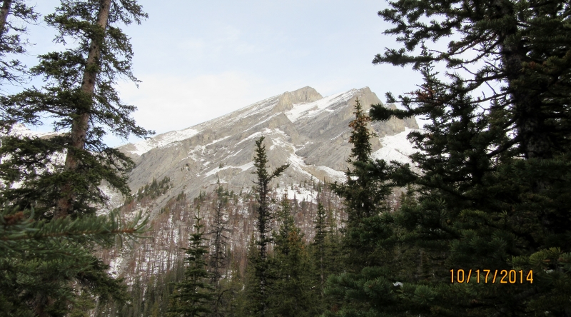
This the first glimpse of the North Pass just before the tree sign at the trail junction.( see the gallery for picture )
Due to the snow it was sometimes difficult to find the trail.
The faint red line is our route to the South Pass. This is the view from the top of North Buller Pass in October. Note to self come back in summer.
Again the faint red line is the route you would take to Red Peak.
We were happy to get off the South Pass Col because the wind was howling and the snow blowing into our faces.
Distance return 17.0 km Time return 6 :45 hrs ( inc 15 min lunch ) Elevation Accumulated gain 1080 m Elevation to Summit 700 m Summit height 2522 m
[recaptcha_form]


[…] Buller Pass North to South […]