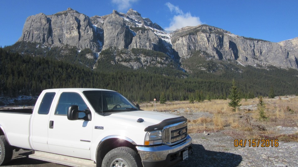
Friday April 15th 2016
First hike of 2016 and it was a great one to start on. Black Rock Mountain is located in the foothills from Hwy 940 off the Forestry Trunk Road. Directions are, from Hwy 1A turn north towards Waparous Village. Go 25 km to Richards Road then about 100 m further turn left onto the gravel road that is marked for ORV ( Off Road Vehicles ). Bounce your way along this TransAlta built road for 16.5 km to the top of the Big Hill. This is where 4X4 is needed as you descend into the Ghost River ( if not dry or the bank has been washed away you will be reversing back up the hill ). Follow tracks to the right to attain a gravel berm and follow north until the 37 marker. Turn right and travel another 300 m or just park at the sign and start the hike. There are two trail heads across the dry river bed either will do as they join the main trail. Follow an old road, this starts at the left trail, through the forest. As the trees thin a short cut appears up a steep slope or go left to avoid. The rest of the way is fairly obvious until a pinnacle comes into view do not be drawn over there keep to the well worn trail that bears right and brings you through the crux. After the open table top meadow the route is clear to see with the Fire Lookout sitting on the top. You may not notice but near the summit there is a narrow spine that brings you out on the summit.
Distance return 11.0 km Time return 5:30 hrs ( inc 30 min lunch ) Elevation Accumulated gain 935 m Elevation to Summit 890m Summit height 2484 m
[recaptcha_form]


Recent Comments